
 Insights
Climate
Rewetting Peatland Is Our Daily Work
Drained peat dries out, sinks and burns. Restoring it starts with putting the water back.
Canals have drained large areas of Indonesia's peat, and this year's fires showed the cost. Here is how peat works, what drainage does to it, and how we put the water back and keep it there.
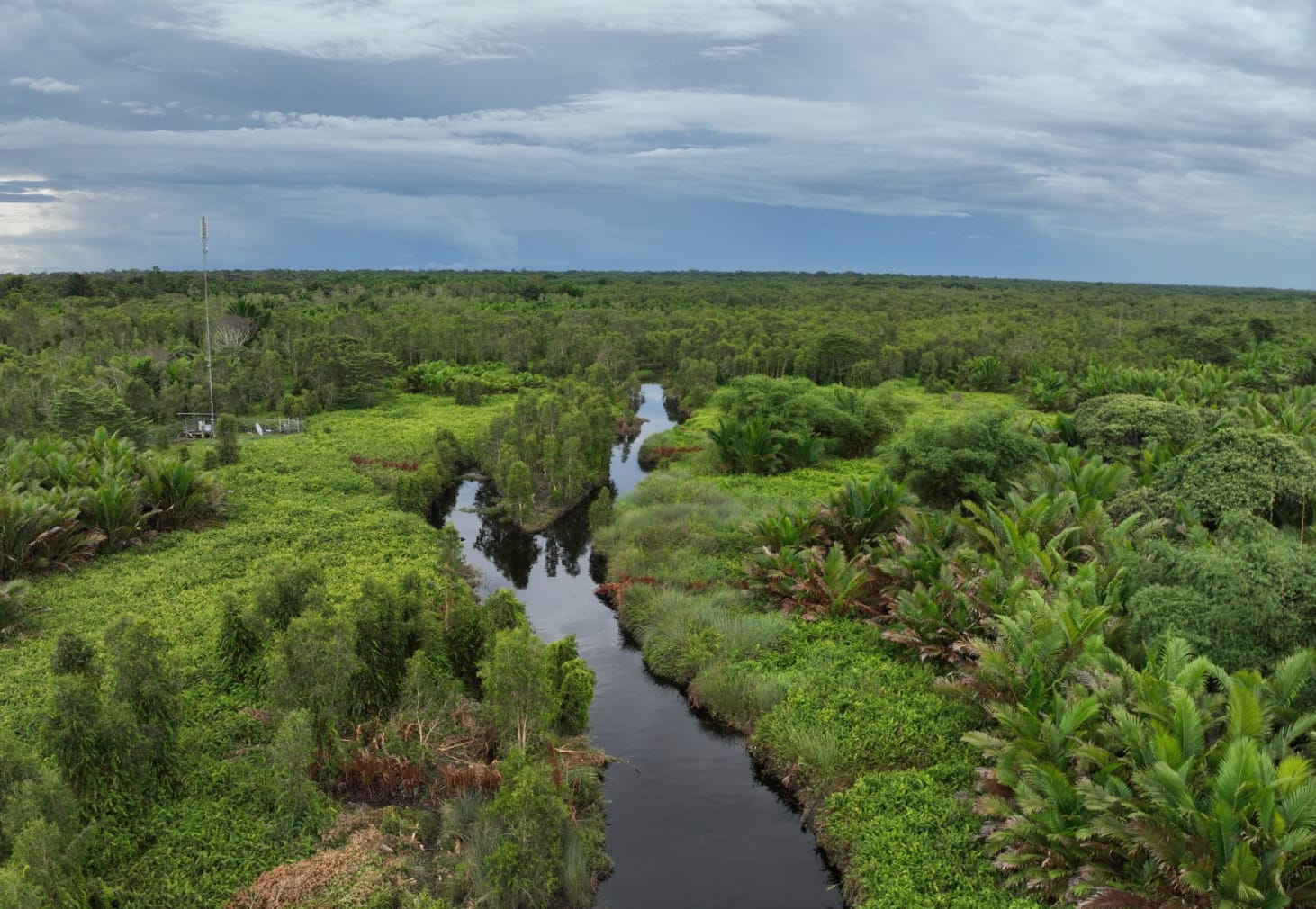
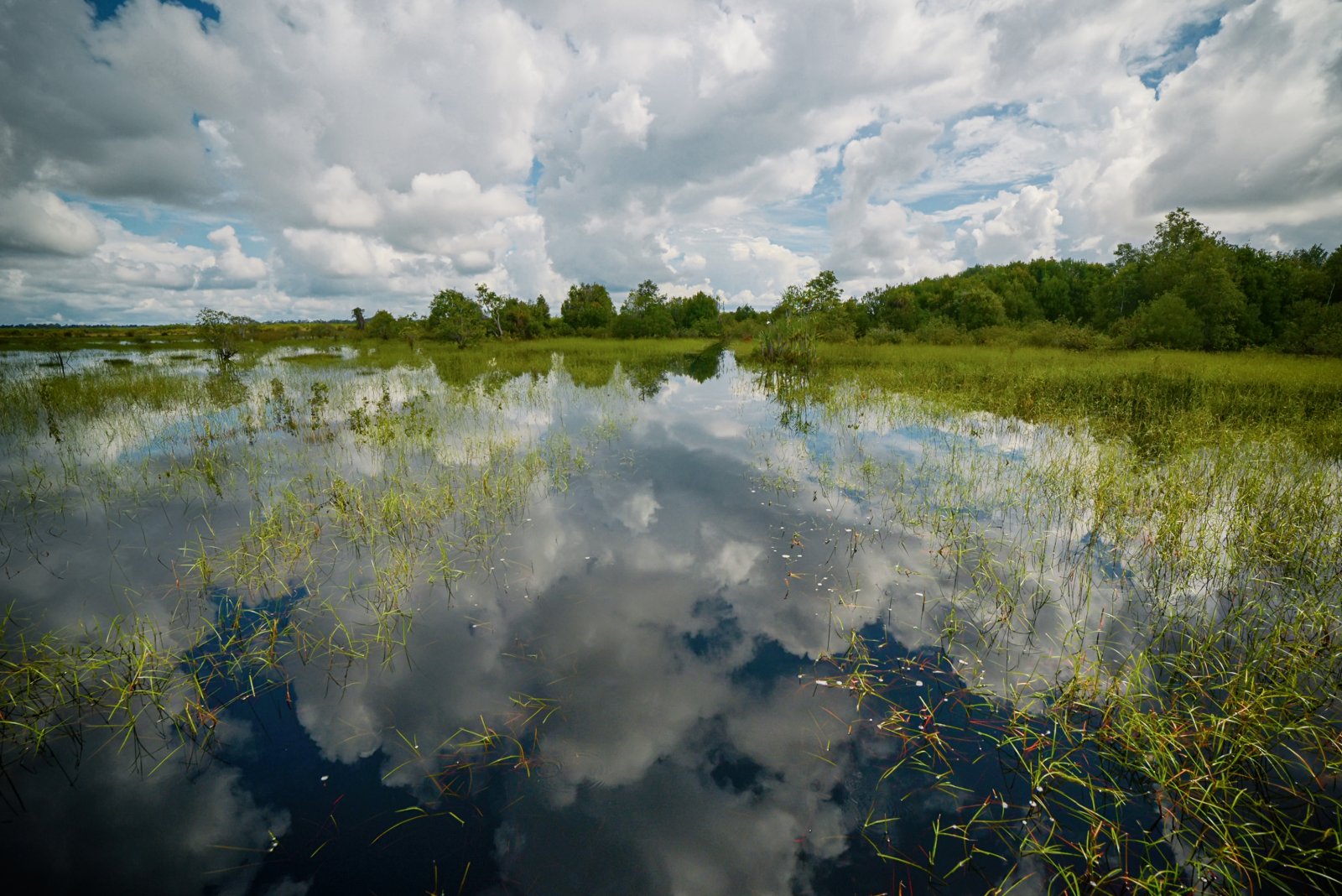
Walk into a healthy peat swamp forest and the ground feels soft and springy under your feet. Push a stick into it and dark, tea-coloured water seeps up around it. That water is not a problem to fix. It is what keeps the whole place alive.
In our last insight, Protecting Peat, Preventing the Fires Behind the Haze, we looked at what happens when peat burns. This time we look at how damaged peat is brought back to health. The work is called rewetting: blocking the canals that drain the peat so the water rises again, then keeping it there. It is where all of our peatland restoration begins.
Healthy peat holds water, carbon and life together
Peat is made of leaves, wood and roots that fell into waterlogged ground and never fully rotted. Layer by layer, over thousands of years, it has built up into soft, dark ground that in places is many metres deep. Indonesia has about 13.4 million hectares, about 3 million of them in Papua.[1]
What makes peat work is water. Healthy peat is soaked through, like a sponge, and that water does three jobs at once.
- It keeps carbon locked in. Without air, the plant matter can barely break down, so its carbon stays in the ground instead of rising into the air as CO2.
- It keeps fire out. Wet peat is very hard to set alight, even in a long dry season.
- It keeps life going. Peat swamp forests are home to many birds, fish and other wildlife, and to plants such as sago that many villages rely on for food and a living.
When peat is drained, the damage builds up year after year
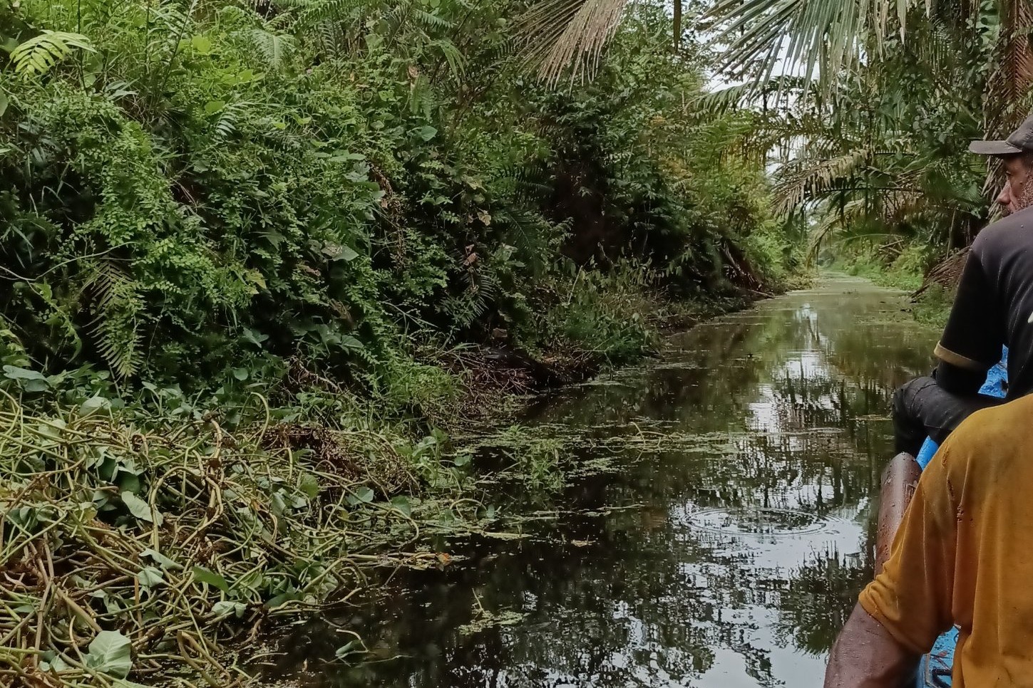
The trouble starts when canals are dug to drain the land for plantations and farms. Water runs out into the canals and the water table drops. The peat above the water table is now open to the air, and the lower the water table falls, the thicker this dry layer becomes.
Three things follow.
- The peat breaks down and releases carbon. In the dry layer, plant matter that built up over thousands of years starts to rot, and its carbon escapes as CO2. In drained acacia and oil palm plantations in Sumatra, with the water table about 0.7 m below the surface, scientists found carbon losses equal to about 73 tonnes of CO2 per hectare every year once the first five years after drainage had passed. In those first five years, losses were even higher.[2]
- The ground sinks. In those same plantations, the land kept sinking by around 5 cm a year after the first five years, mostly because the peat itself was breaking down.[2] Sunken land floods more easily and is hard to bring back.
- The land turns into fuel. Dry peat catches fire easily, and peat fires can smoulder underground, out of sight.[3] The longer a fire burns, the more carbon it releases.
Each step feeds the next, as the diagram below shows.

This year's fires show where drainage leads
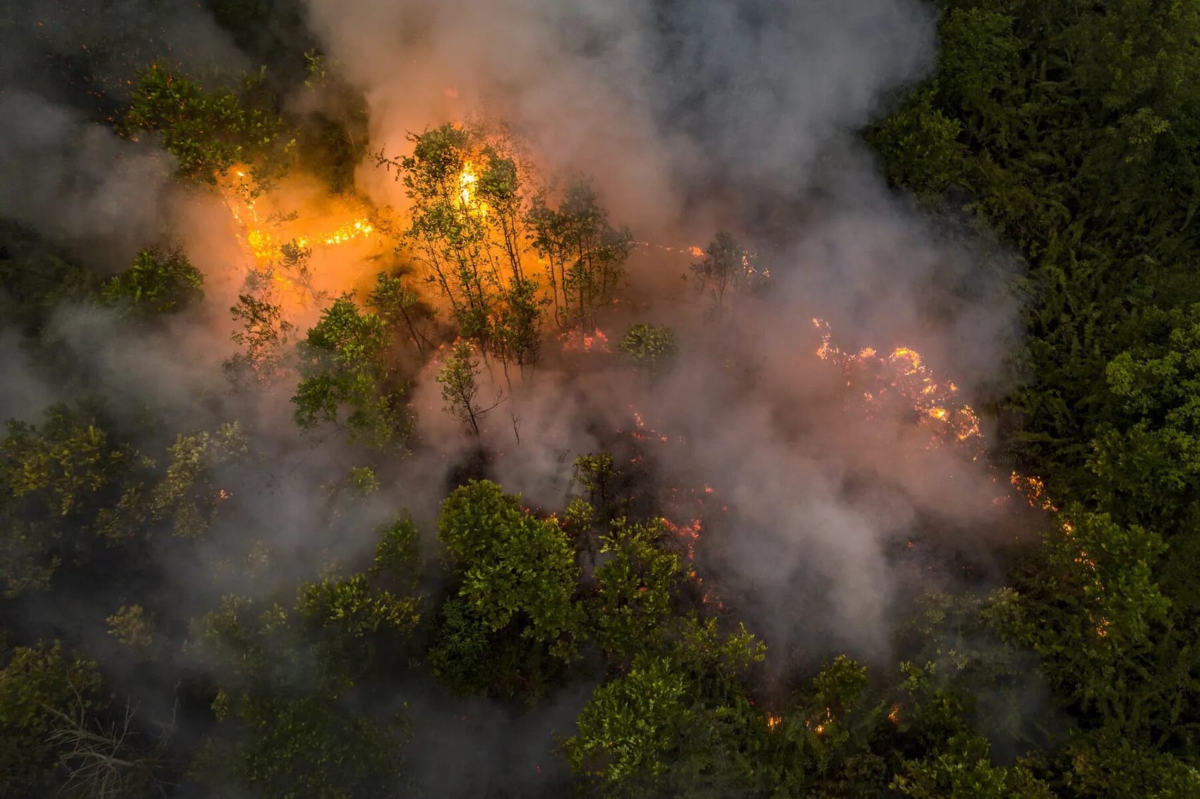
Wet peat is very hard to set alight. Drained peat is a different story, and this year showed how much is at stake.
- Fires burned across Indonesia. Between January and the end of September, fires burned more than 1.9 million hectares across the country, according to the forest monitor Nusantara Atlas.[4]
- Many hotspots were on peat. From 1 to 14 September alone, peat watchdog Pantau Gambut counted 139,378 hotspots on peatland.[5]
- The emissions kept adding up. Because a peat fire keeps releasing carbon for as long as it burns, fire emissions are best counted over time. In one week, from 15 to 21 October, Indonesia's fires released an estimated 14.4 million tonnes of carbon, almost half of all fire emissions worldwide that week. For the year so far, the total stood at about 180 million tonnes of carbon, according to figures reported on 27 October.[3]
That is why drained peatlands need restoring
Drained peat loses its water, leaks its carbon and can burn again every dry season. In Papua alone, a 2023 study estimated that about 0.8 million hectares of peatland needs restoring.[6] Putting out fires deals with the flames. Restoring peat deals with what makes it burn so easily: the missing water. That is what rewetting does. It puts the water back and keeps it there.
How we block a drained canal
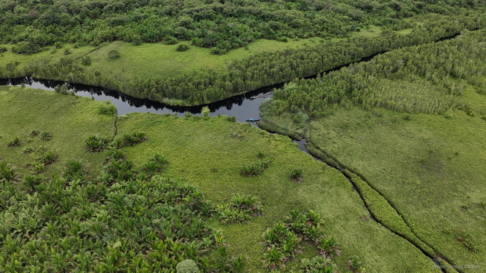
The main way to rewet peat is to block the canals that drain it. Canal blocks, known in Indonesia as sekat kanal, are small dams built across a canal to hold the water back.[7] With the water held back, the canal stops draining the land around it, and the water level in the peat starts to rise again. This is how we do it, in four steps.

- Map the canals. Before anything is built, we survey the area. We record where each canal runs, how wide and deep it is, and how the land rises and falls along it. Peatland often forms a gentle dome, highest in the middle, so water drains outwards and downhill into the canals. The survey shows which canals are pulling out the most water and where dams will do the most good.
- Plan a chain of dams. Water flows downhill, and a single dam only holds it back for a short stretch behind it. So we plan a series of dams along each canal, like the steps of a staircase, each holding back its own step of water. Where the land slopes more steeply, the dams need to be closer together. The aim is for the wet areas behind the dams to join up. A 2026 study in West and Central Kalimantan backs this up: canal blocks were most effective at avoiding fire where their rewetted areas overlapped, working together as one system rather than one dam at a time.[8]
- Build in the dry season. We build when the water is low, so the excavator can work in and beside the canal. When a canal is first dug, the soil taken out of it is piled along its banks. The excavator scoops that same soil back up and packs it firmly into the canal, from one bank to the other, to form a solid dam. In effect, a short section of the canal is filled back in.
- Protect each dam. Water always looks for a way past. In the wet season, heavy rain can raise the water above the top of a dam, and water pouring over the top would wash the soil away and could break the dam. So beside each dam we dig a shallow overflow path, a little lower than the dam itself. The extra water spills out safely through this path, while the dam keeps holding back the rest.
Once the chain of dams is in place, water collects behind each one, the canal stops draining the land, and the peat around it starts to get wet again. From then on, the work is to keep it that way.
A high water table is the result, so we monitor it continuously
Blocking a canal is only the means. What we are after is a high water table, with the water close to the surface in the dry season as well as the wet. So we keep checking it, in a simple loop that repeats season after season.

It starts with knowing what normal looks like. Water levels in peat rise in the wet season and fall in the dry season, and nearby rivers can push them up or down too. So before the loop begins, we record the site's water levels through a full wet and dry season. This baseline lets us tell a normal seasonal dip from a real problem. From there, the same three steps repeat.
- Check. Our team reads the water level in monitoring wells. These are simple pipes with small holes along their length, set upright into the peat near the dams. Water from the surrounding peat seeps into the pipe and settles at the same level as the water in the ground, so measuring the water inside the pipe shows how far below the surface the water sits.
- Compare. We compare each reading with the baseline for the same time of year, and with the target set for that site. Every location is different, so each one is assessed on its own. A level that is normal in the dry season could be a warning sign in the wet season.
- Fix. If the water drops further than it should, we go and find out why. A dam may be leaking or damaged, an overflow path may have worn too deep, or a new drain may have been dug nearby. Once we know the cause, we fix it quickly.
After a repair, the next check shows whether the water has risen again. Then the loop simply carries on, season after season.
At Canopy Carbon, every project starts with the water
Peatlands sit at the centre of our work, and our peatland projects are in Papua. Every project starts with the same question: how do we keep the water in? We restore water levels in drained areas, starting with canal blocks. Fora OS, the platform we built in-house, connects our field data with real-time threat monitoring, so our decisions stay traceable. And we work side by side with neighbouring villages, through training, local jobs and wet-peat livelihoods such as sago, so that keeping the peat wet becomes part of everyday life.
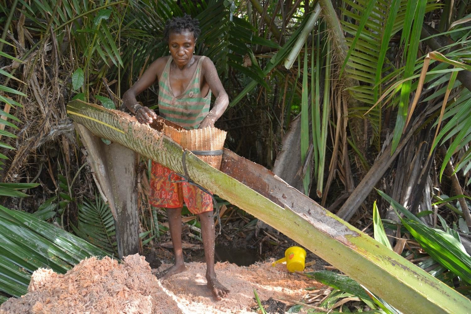
It is slow, steady work. But every hectare of peat that is wet again holds on to more of its carbon, is far harder to burn and keeps the forest working for the people who live around it. When the water stays in, the peat stays alive.
Follow Canopy Carbon on LinkedIn for more stories from Indonesia's peatlands.
Sources
1. Revisiting tropical peatlands in Indonesia: Semi-detailed mapping, extent and depth distribution assessment - Anda, M. et al. (2021), Geoderma 402:115235
2. Subsidence and carbon loss in drained tropical peatlands - Hooijer, A. et al. (2012), Biogeosciences 9:1053–1071
3. Indonesian wildfires fuel emissions - The Star (27 October 2026), citing the Copernicus Atmosphere Monitoring Service (CAMS)
4. 'Utter destruction': Indonesia fires have burned nearly two million hectares: monitor - The Star, from AFP (19 October 2026), citing Nusantara Atlas
5. Pemerintah mau hidupkan BRGM lagi setelah kebakaran hutan dan gambut menggila - Mongabay Indonesia (6 October 2026), citing Pantau Gambut
6. Peatlands, Indonesia's carbon trove, are mostly unprotected, study finds - Mongabay (5 June 2023), reporting Terzano, D. et al. (2023), Journal for Nature Conservation 73:126388
7. Guideline for canal blocking design in the ex-Mega Rice Project area in Central Kalimantan - Euroconsult Mott MacDonald & Deltares | Delft Hydraulics (2009), Technical Guideline Number 4, for the Government of Indonesia and the Royal Netherlands Embassy
8. Effective restoration can avoid peatland fires: Large scale counterfactual assessment in Kalimantan, Indonesia - Castro, M. et al. (2026), iScience